Tourismus
Herzlich willkommen in Kaiserslautern, einem schönen Stück Pfalz!
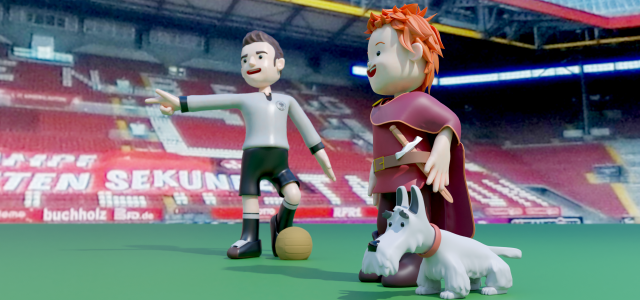
Unsere am Rande des Biosphärenreservates Pfälzerwald-Nordvogesen malerisch gelegene Stadt zieht mit attraktiven Freizeit-, Sport- und Einkaufsmöglichkeiten nicht nur Wanderer und Fußballfans an. Sie bietet vielfältige Ausflugsziele, Museen, Lokale & Gaststätten und eine äußerst belebte Innenstadt. Zahlreiche Informationen zur Anreise, zu Unterkunftsmöglichkeiten von der Ferienwohnung bis zur Suite, Besichtigungstouren oder Tagungsstätten halten wir für unsere Gäste auf den folgenden Seiten abrufbereit. Über tägliche Veranstaltungen und Events informiert Sie jederzeit unser Online-Veranstaltungskalender!

Previous
Next


Stadtleben Kaiserslautern
Zum Aktivieren des Videos müssen Sie auf die Schaltfläche unten klicken. Wir möchten Sie darauf hinweisen, dass nach der Aktivierung Daten an YouTube übermittelt werden.